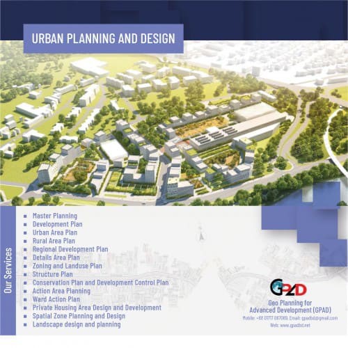
- Master Planning
- Development Plan
- Urban Area Plan
- Rural Area Plan
- Regional Development Plan
- Details Area Plan
- Zoning and Landuse Plan
- Structure Plan
- Conservation Plan and Development Control Plan
- Action Area Planning
- Ward Action Plan
- Private Housing Area Design and Development
- Spatial Zone Planning and Design
- Landscape design and planning
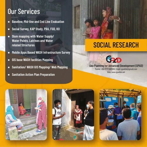
- Baseline, Mid-line and End Line Evaluation
- Social Survey, KAP Study, PRA, FGD, KII
- Slum mapping with Water Supply/Water Points, Latrines and Water related Structures
- Mobile Apps Based WASH Infrastructure Survey
- GIS based WASH facilities Mapping
- Sanitation/ WASH GIS Mapping/ Web Mapping
- Sanitation Action Plan Preparation
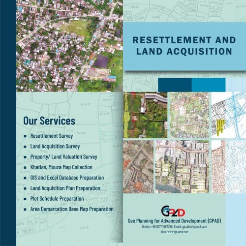
- Resettlement Survey
- Land Acquisition Survey
- Property/ Land Valuation Survey
- Khatian, Mouza Map Collection
- GIS and Excel Database Preparation
- Land Acquisition Plan Preparation
- Plot Schedule Preparation
- Area Demarcation Base Map Preparation
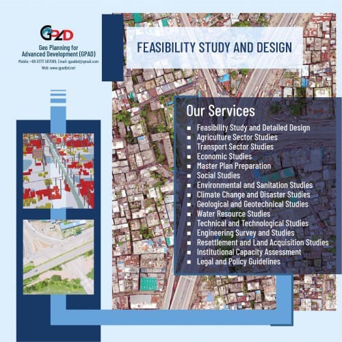
- Feasibility Study and Detailed Design
- Agriculture Sector Studies
- Transport Sector Studies
- Economic Studies
- Master Plan Preparation
- Social Studies
- Environmental and Sanitation Studies
- Climate Change and Disaster Studies
- Geological and Geotechnical Studies
- Water Resource Studies
- Technical and Technological Studies
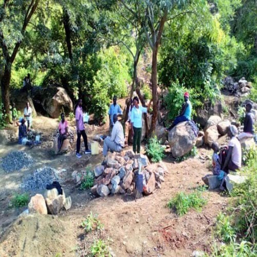
- Engineering Survey and Studies
- Resettlement and Land Acquisition Studies
- Institutional Capacity Assessment
- Legal and Policy Guidelines
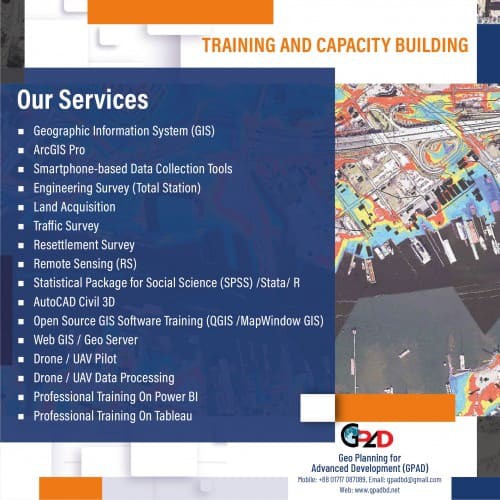
- GPAD has the following training and capacity-building activities. Geographic Information System (GIS)
- ArcGIS Pro
- Smartphone-based Data Collection Tools
- Engineering Survey (Total Station)
- Land Acquisition
- Traffic Survey
- Resettlement Survey
- Remote Sensing (RS)
- Statistical Package for Social Science (SPSS) /Stata/ R
- AutoCAD Civil 3D
- Open Source GIS Software Training (QGIS /MapWindow GIS)
- Web GIS / Map Server
- Drone / UAV Pilot Training
- Drone / UAV Data Processing Training
- Power BI
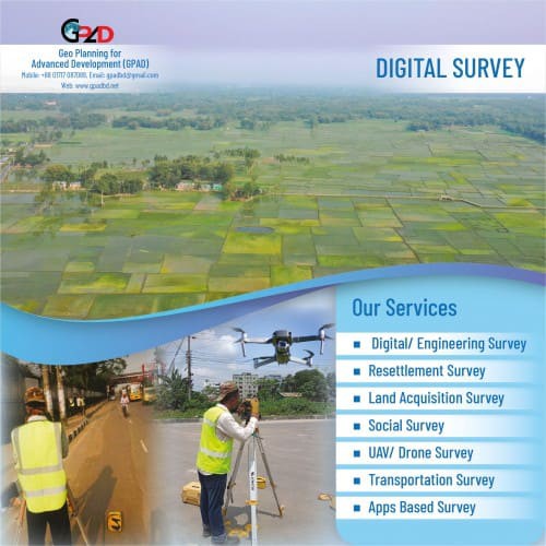
- Land Survey
- Topographic Survey
- Utility Survey and Mapping
- Environmental Survey
- Traffic Survey
- Contour Survey
- X- Section (Cross Section) Survey
- River Bathymetric Survey/ Hydro Survey
- GPS Survey RTK GPS Survey
- Basemap Preparation
- Landuse Survey and Mapping
- Map Preparation
- Database Design and Management (Using Access, SPSS, Visual Basic)
- GIS-based survey including GPS application.
- Image processing and analysis using remote sensing data
- Drone Survey ( 5cm / 10 cm Resolution )
- DSM/DTM
- Orthophoto etc
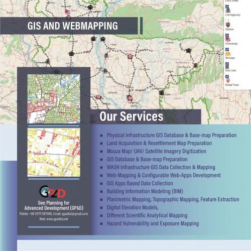
- Physical Infrastructure GIS Database & Base-map Preparation
- Land Acquisition & Resettlement Map Preparation
- Mouza Map/ UAV/ Satellite Imagery Digitization
- GIS Database & Base-map Preparation
- WASH Infrastructure GIS Data Collection & Mapping
- Web-Mapping & Configurable Web-Apps Development
- GIS Apps Based Data Collection
- Building Information Modeling (BIM)
- Planimetric Mapping, Topographic Mapping, Feature Extraction
- Digital Elevation Models,
- Different Scientific Analytical Mapping
- Hazard Vulnerability and Exposure Mappin
- Website Development
- Apps Development
- WebGIS Dashboard
- E-Commerce Site Development
- Dynamic Website Development
- Association / Alumni Member Portal/Website
- Data Collection Dashboard and Apps
- Inventory System etc
- WASH Survey
- Sanitation Profile
- WASH Mapping
- WASH Assessment
- Web Map for WASH Services
- Environmental Assessment
- Environmental Impact Assessment (EIA)
- Initial Environmental Examination (IEE)
- Disaster Impact Assessment (DIA)
- CRA/URA
- Multi-hazard Contingency Plan
- Standard Operating Procedure (SOP)
- Vulnerability Assessment & Mapping
- Risk Assessment & Mapping
- Hazard Assessment & Mapping
- Climate Impact Analysis
- Governance Policy & Management
- Institutional Analysis
- Logframe
- Capacity Assessment
- SoP
- Contingency Plan
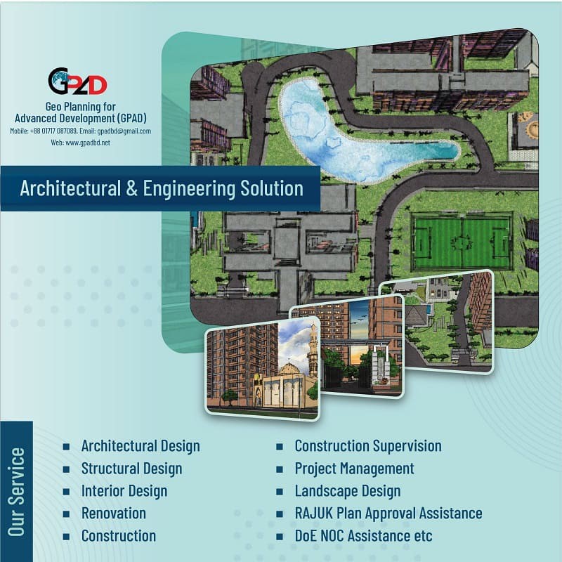
- Architectural Design
- Structural Design
- Interior Design
- Renovation
- Construction
- Construction Supervision
- Project Management
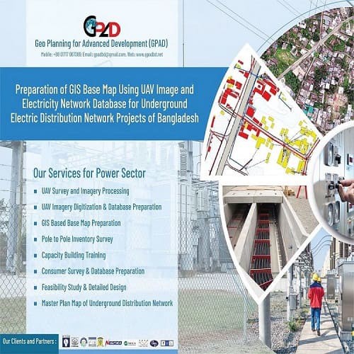
- UAV Survey and Imagery Processing
- Master Plan of Underground Distribution Network
- Overhead Line Survey
- Load Distribution analysis
- Consumer Load forecasting
- High Resolution Imagery Capturing
- UAV Imagery Digitization
- Base Map Preparation
- GIS and Web-GIS Based Mapping
- Aerial Video Survey
- Feasibility Study