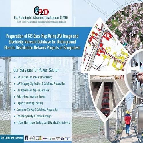
Description
- UAV Survey and Imagery Processing
- Master Plan of Underground Distribution Network
- Overhead Line Survey
- Load Distribution analysis
- Consumer Load forecasting
- High Resolution Imagery Capturing
- UAV Imagery Digitization
- Base Map Preparation
- GIS and Web-GIS Based Mapping
- Aerial Video Survey
- Feasibility Study