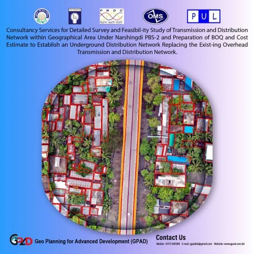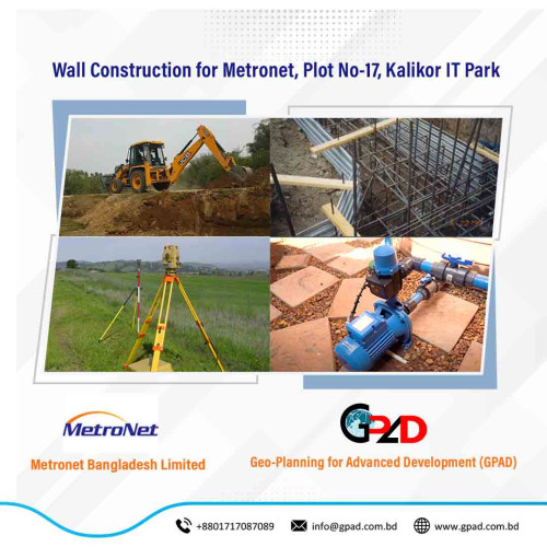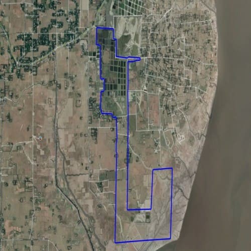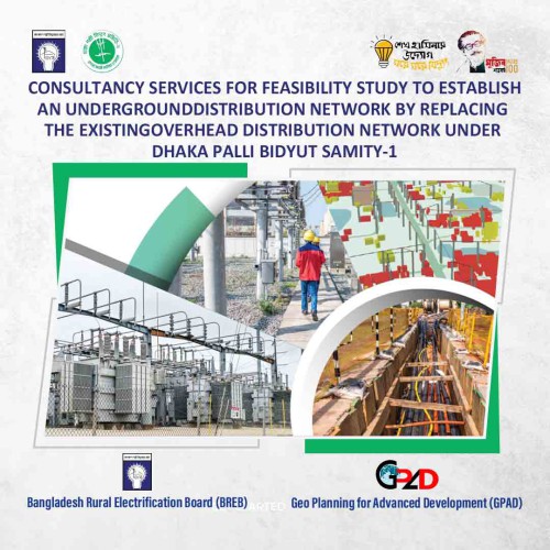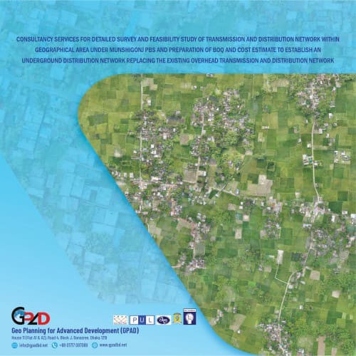
Project Description
Preparation of GIS Based Map Including Physical Features, Geographical Feature, Existing Road, River, Khal, Bridge and Culvert, Water bodies, all Structure etc. UAV image capturing, Imagery digitization and ground truthing. Prepare GIS database and analysis GIS data Detail Base Maps of Existing Physical Features of the Project Area. Detail GIS Maps and database of Existing and Proposed Electrical Distribution Network. Detail GIS Maps of Proposed Underground Design.