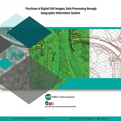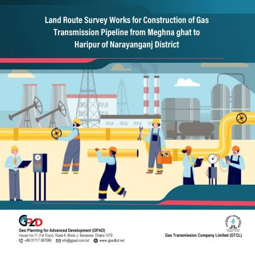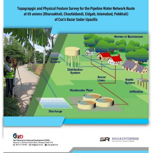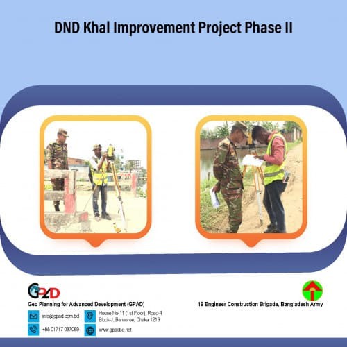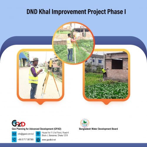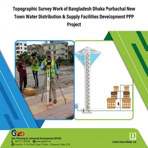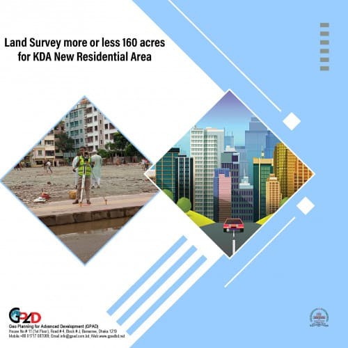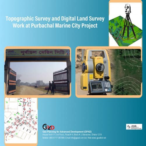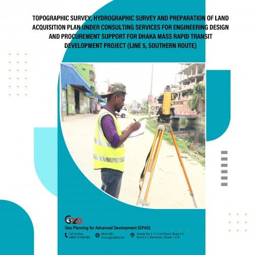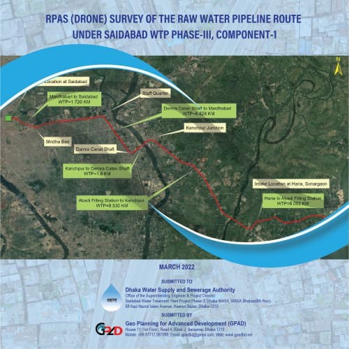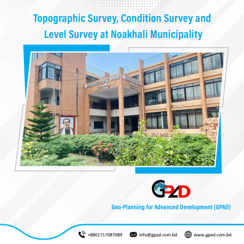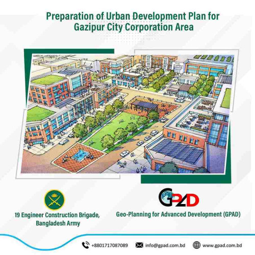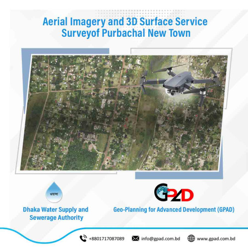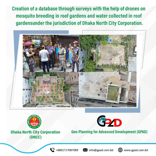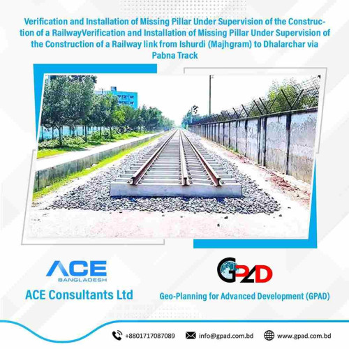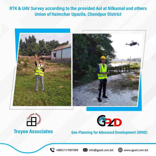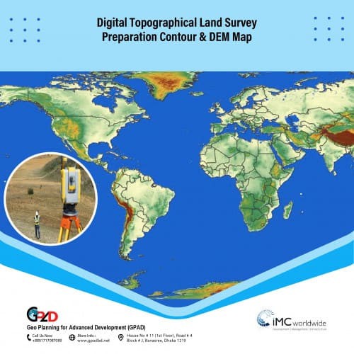
Project Description
• Conduct physical features and topographic survey. • Collection and digitization of RS Mouza maps • Field data collection and attribute update • Prepare Base-map considering the existing topographic condition for the planning/design base. • Preparation of plan and report with implementation guidelines