Project Description
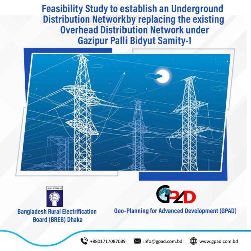
The main objective of the project is to establish an Underground Distribution Network by replacing the existing Overhead Distribution Network under Gazipur Palli Bidyut Samity-1Inventory and Preparation of Geographical Map with Establishment of Geo-coordinate including roads, buildings, various installations, empty spaces, sewerage lines, water supply lines, gas transmission lines, telephone and internet lines etc. To achieve the main objective, the consultants have to provide services to the followings:
• Preparation of GIS Based Map using Drone Image Including Geographical Feature, Existing Road, River, Khal, Bridge and Culvert, Water bodies, all Structure etc.
• Ground trothing of GIS Base Map, Prepare GIS database and analysis GIS data
• Detail Base Maps of Existing Physical Features of the Project Area.
• Detail GIS Maps and database of Existing and Proposed Electrical Distribution Network using ArcInfo and Arc GIS 10.5
• Detail GIS Maps of Proposed Underground Design.
Detailed description of actual services provided by the staff:
• Capturing UAV Image
• Drone Survey,
• Basemap Preparation,
• Electric Inventory Preparation (Pole Survey, Consumer Survey, SLD Preparation)
• GIS related works
• Physical Features Extraction from UAV Images
• RTK Referencing Point
• Level Fly
• Detailed Topographic Survey
• Submission of final report and maps.