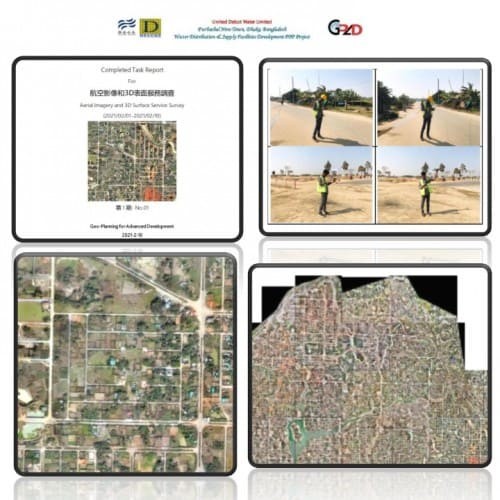
 Consultancy Services for aerial imagery capture and 3D surface model development
Details
Consultancy Services for aerial imagery capture and 3D surface model development
Details
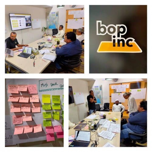 Research on a innovative technology in Sanitation Sector
Details
Research on a innovative technology in Sanitation Sector
Details
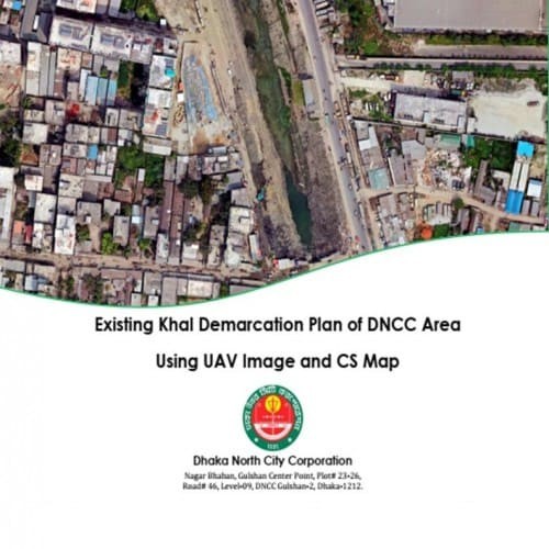 Existing Khal Demarcation of DNCC
Details
Existing Khal Demarcation of DNCC
Details
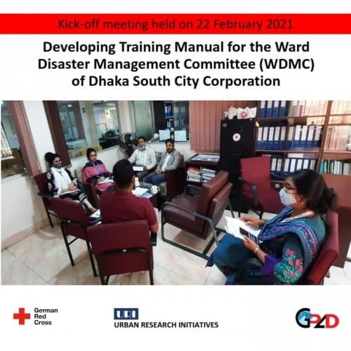 Developing Training Manual for the Ward Disaster Management Committee (WDMC) of Dhaka South City Corporation
Details
Developing Training Manual for the Ward Disaster Management Committee (WDMC) of Dhaka South City Corporation
Details
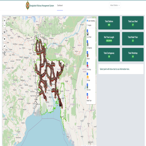 Bangladesh Railway Asset Management (MIS & GIS Department)
Details
Bangladesh Railway Asset Management (MIS & GIS Department)
Details
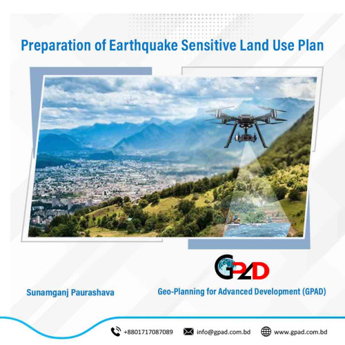 Preparation of Earthquake Sensitive Land Use Plan.
Details
Preparation of Earthquake Sensitive Land Use Plan.
Details
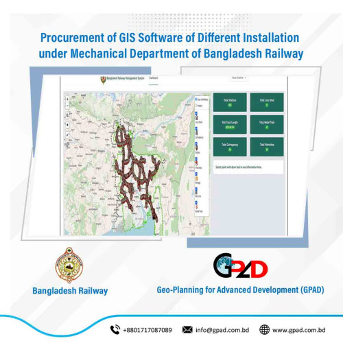 Procurement of GIS Software of Different Installation under Mechanical Department of Bangladesh Railway
Details
Procurement of GIS Software of Different Installation under Mechanical Department of Bangladesh Railway
Details
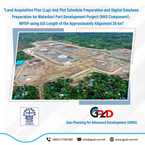 Land Acquisition Plan (Lap) And Plot Schedule Preparation and Digital Database Preparation for Matarbari Port Development Project (RHD Component)- MPDP using GIS Length of the Approximately Alignment 28 km
Details
Land Acquisition Plan (Lap) And Plot Schedule Preparation and Digital Database Preparation for Matarbari Port Development Project (RHD Component)- MPDP using GIS Length of the Approximately Alignment 28 km
Details